

Fire Near Me Today: Critical Steps to Stay Safe Now in 2026
Introduction
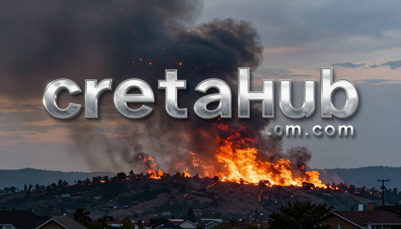
You smell smoke. The sky outside looks orange. Your phone buzzes with a neighbor’s message. In moments like this, your first instinct is to search for fire near me today, and that instinct is exactly right.
Knowing what is burning, how close it is, and whether you need to move fast can be the difference between safety and serious danger. Wildfires, house fires, and brush fires can spread faster than most people expect. The National Fire Protection Association reports that a home fire doubles in size every minute after it starts. That is not a statistic you want to learn the hard way.
This article gives you everything you need in one place. You will learn how to find active fires in your area right now, what official tools to trust, what steps to take for your safety, how to prepare before fires happen, and what to do after a fire has passed. Read this now, before you need it.
How to Find a Fire Near Me Today: Best Real-Time Tools
The fastest way to find out about a fire near your location is to use a combination of official emergency alerts and real-time fire tracking maps.
Here are the most reliable tools available right now:
1. FEMA Wireless Emergency Alerts
If there is a fire near you, your phone should automatically receive a Wireless Emergency Alert (WEA). These are the loud, jarring alerts that come even when your phone is on silent. They are sent by local emergency management agencies and cover evacuation orders, red flag warnings, and extreme fire danger notices.
You do not need to download anything for these. Just make sure your phone has emergency alerts turned on in your notification settings.
2. NASA FIRMS (Fire Information for Resource Management System)
NASA runs a free, publicly available fire map at firms.modaps.eosdis.nasa.gov. It shows active fire detections from satellite imagery updated multiple times per day.
You can zoom into your region and see exactly where thermal anomalies (active fire hotspots) have been detected. This is one of the most accurate global fire tracking tools available to the public.
3. AirNow.gov
When a fire is burning nearby, air quality drops fast. AirNow.gov lets you check the Air Quality Index (AQI) for your zip code in real time. A high AQI reading is often one of the earliest signs that a fire is active somewhere near you.
4. Local Fire Department Websites and Social Media
Your county fire department almost always posts real-time updates on their website and official social media accounts. Search your county name plus “fire department” on Twitter or Facebook for live posts.
5. Watch Duty App
Watch Duty is a wildfire tracking app built specifically for real-time fire reporting. It is used by firefighters and emergency personnel and delivers accurate, local fire alerts to your phone the moment a fire is reported.
6. Nixle and AlertSense
Many counties use Nixle or AlertSense to push community safety alerts via text message. Register your address on nixle.com to receive location-based fire and emergency alerts for free.
What to Do Right Now If There Is a Fire Near You
If you are searching for fire near me today because you see smoke or feel something is wrong, stop reading about it and act. Here is a step-by-step breakdown of what to do immediately.
Step 1: Confirm the Fire and Its Location
Use one of the tools above to confirm where the fire is relative to your home. Do not rely on rumors or social media posts from unofficial accounts. Stick to verified sources like your county fire department or local news.
Step 2: Check Your Evacuation Zone
Most counties divide their areas into evacuation zones, often labeled by letters or colors. Check your local emergency management website right now and find out what zone your address falls into. This tells you whether you should leave immediately, get ready to leave, or stay informed and monitor.
Step 3: Sign Up for Local Alerts Immediately
If you have not already signed up for your county’s emergency notification system, do it right now. Most counties use systems like Nixle, Everbridge, or Code Red. A quick search for your county name plus “emergency alerts sign up” will get you there.
Step 4: Gather Your Go Bag
If there is any chance you may need to evacuate, start gathering your go bag now. Do not wait for the official order. Fires move fast and official orders sometimes come with very little lead time.
Your go bag should include:
- Important documents (ID, insurance, medical records)
- Medications and first aid supplies
- Three days of water and non-perishable food
- Phone charger and a backup power bank
- Cash in small bills
- A change of clothes for each family member
- Pet food and supplies if you have animals
Step 5: Know Your Evacuation Route
Do not assume you know the way out. Roads can be blocked by fire or emergency vehicles. Plan two routes out of your neighborhood and know where your designated evacuation shelter is located. Your county emergency management website will list active shelter locations.
Step 6: If You Smell Smoke Indoors
Close all windows and doors. Turn off your HVAC system so it does not pull smoky air inside. Move to the cleanest room in the house. Use N95 masks if you have them. Smoke inhalation is the leading cause of fire-related deaths.
Understanding Fire Risk: Why Fires Spread So Fast
Most people underestimate how quickly a wildfire or brush fire can grow. Understanding this helps you react faster.
The Role of Wind
Wind is the single biggest driver of fire spread. A fire that looks far away can reach your neighborhood in minutes when strong winds are involved. In dry conditions, embers can travel more than a mile ahead of the main fire front. This means a fire does not need to crawl to your door. It can jump.
Fuel Loads and Dry Conditions
Dry vegetation is fuel. After a dry season, grass, shrubs, and trees become extremely flammable. The US experienced its worst wildfire seasons in recorded history during 2020 and 2023, largely because of prolonged drought combined with high winds.
Red Flag Warning Days
A Red Flag Warning means conditions are ideal for fire to ignite and spread rapidly. These are issued by the National Weather Service when wind speeds are high, humidity is low, and temperatures are elevated. On Red Flag Warning days, you should be especially vigilant about any fire near your area.
How to Prepare Before a Fire Starts Near You
Preparation is everything. The families who evacuate safely are almost always the ones who prepared before the emergency happened.
Create a Family Emergency Plan
Sit down with your household and agree on the following:
- A primary evacuation route and a backup route
- A meeting point outside your neighborhood if you get separated
- An out-of-state contact everyone can call if local lines are busy
- Where your go bag is located and who grabs it
Do this once and revisit it every year. It takes about 30 minutes and can save lives.
Harden Your Home Against Fire
If you live in a fire-prone area, take steps to make your home more resistant:
- Clear vegetation at least 30 feet from your home
- Use fire-resistant landscaping materials near the house
- Install ember-resistant vents on your roof and attic
- Keep gutters clean and free of dry leaves
- Close gaps in decking and eaves where embers can enter
These steps will not make your home fireproof, but they significantly reduce the chance of ignition.
Store Important Documents Digitally
Scan your passports, insurance documents, property deeds, and medical records. Store them in a secure cloud service like Google Drive or iCloud. If you have to leave in a hurry and cannot grab physical copies, you will still have access to everything you need.

Air Quality and Smoke Safety During a Nearby Fire
Even if you are not in the fire’s direct path, the smoke can still harm you. Wildfire smoke contains fine particles (PM2.5) that penetrate deep into your lungs. Short-term exposure causes coughing, irritation, and shortness of breath. Long-term or heavy exposure can cause serious respiratory and cardiovascular damage.
Who Is Most at Risk from Smoke
The following groups face the greatest health risk from wildfire smoke:
- Children under 14
- Adults over 65
- People with asthma, COPD, or heart disease
- Pregnant women
- Anyone who works outdoors
How to Protect Yourself Indoors
Keep your windows and doors closed. Run an air purifier with a HEPA filter if you have one. Avoid using fans that pull outside air in. If your air quality index rises above 150 (Unhealthy), stay indoors as much as possible.
Masks That Actually Work
Regular cloth masks and surgical masks do not filter fine smoke particles effectively. If you need to go outside during a nearby fire, use a properly fitted N95 or P100 respirator mask.
What to Do After the Fire: Recovery Steps
Once the fire near your area is contained and you receive official clearance to return, do not rush back without taking precautions.
Wait for Official Clearance
Never return to an evacuation zone until authorities declare it safe. Returning too early puts you at risk from hot spots, structural damage, downed power lines, and contaminated water.
Document Everything for Insurance
Before you clean or repair anything, photograph and video all damage thoroughly. Walk through every room and every part of your property. Contact your insurance company immediately after you document the damage. Most policies have a strict window for filing claims.
Check Your Food and Water Supply
Assume your tap water is unsafe until your local utility confirms otherwise. Many wildfires contaminate water systems. Do not use tap water for drinking, cooking, or brushing teeth until you receive official clearance.
Ash and Debris Safety
Wildfire ash is toxic. It contains heavy metals, carcinogens, and chemicals from burned structures. Wear gloves, a mask, and long sleeves when handling ash. Keep children and pets away from ash-covered areas until everything is cleaned and cleared.
Conclusion: Act Fast, Stay Safe, Stay Informed
Searching for fire near me today is something no one wants to do in a panic. But when you are prepared and you know where to look, you can respond quickly, calmly, and safely.
The key takeaways are simple. Use real-time tools like NASA FIRMS, the Watch Duty app, and your local fire department’s official accounts to track active fires. Know your evacuation zone before you need it. Build your go bag now, not later. Protect your home during dry, windy seasons. And if smoke reaches your area, protect your lungs, even if the fire seems far away.
Fires are unpredictable. Your preparation does not have to be. Share this article with your family, your neighbors, and anyone who lives in a fire-prone area. It might be the most useful thing you do today.
What is your county’s fire alert system? Have you signed up yet? Let us know in the comments, and check on a neighbor today.
Frequently Asked Questions (FAQs)
1. How do I find fires near me right now? Use the NASA FIRMS fire map, the Watch Duty app, or your local fire department’s social media and website. For immediate alerts, make sure your phone’s wireless emergency alerts are turned on.
2. What does a fire evacuation order mean? An evacuation order means you must leave the area immediately. It is not optional. Staying behind puts you and emergency responders at serious risk.
3. How fast can a wildfire spread? Under dry and windy conditions, wildfires can spread at speeds of up to 14 miles per hour in open terrain. Embers can travel more than a mile ahead of the fire front, igniting new fires without warning.
4. Is smoke from a nearby fire dangerous even if I am indoors? Yes. Fine smoke particles can enter homes through gaps, ventilation systems, and open windows. Close up your home, turn off your HVAC, and use a HEPA air purifier if one is available.
5. What should I include in a go bag for a fire evacuation? Pack important documents, medications, water, food, a phone charger, cash, clothing, and pet supplies. Keep your go bag in an easy-to-grab location near your front door.
6. What is a Red Flag Warning? A Red Flag Warning is issued by the National Weather Service when conditions are ideal for rapid fire ignition and spread. It means low humidity, high winds, and dry vegetation are all present at the same time.
7. Can I use Google Maps to find fires near me? Google sometimes shows fire perimeters during major incidents, but it is not a primary real-time tracking tool. Use NASA FIRMS or the Watch Duty app for more accurate and timely fire data.
8. What is the air quality index number that should concern me? An AQI above 100 is Unhealthy for Sensitive Groups. Above 150 is Unhealthy for everyone. Above 200 is Very Unhealthy. Check AirNow.gov for your current local AQI reading.
9. How long after a fire is it safe to return home? Always wait for official clearance from your local emergency management authority. Even after a fire is contained, hazards like hot spots, downed power lines, and structural instability can remain for days.
10. How do I register for fire alerts in my county? Search your county name plus “emergency alerts” or “Nixle” to find your local registration page. Most systems are free and take just a few minutes to set up.
also read: creativelabhub.com
email: johanharwen@314gmail.com
Author Name: Sarah Callahan
About the Author : Sarah Callahan is an emergency preparedness writer and former community safety coordinator with over eight years of experience helping families build actionable disaster response plans. She has covered wildfire safety, flood preparedness, and urban emergency protocols for regional publications across the United States. Sarah believes that simple, clear information saves lives, and she writes every article with that single goal in mind.